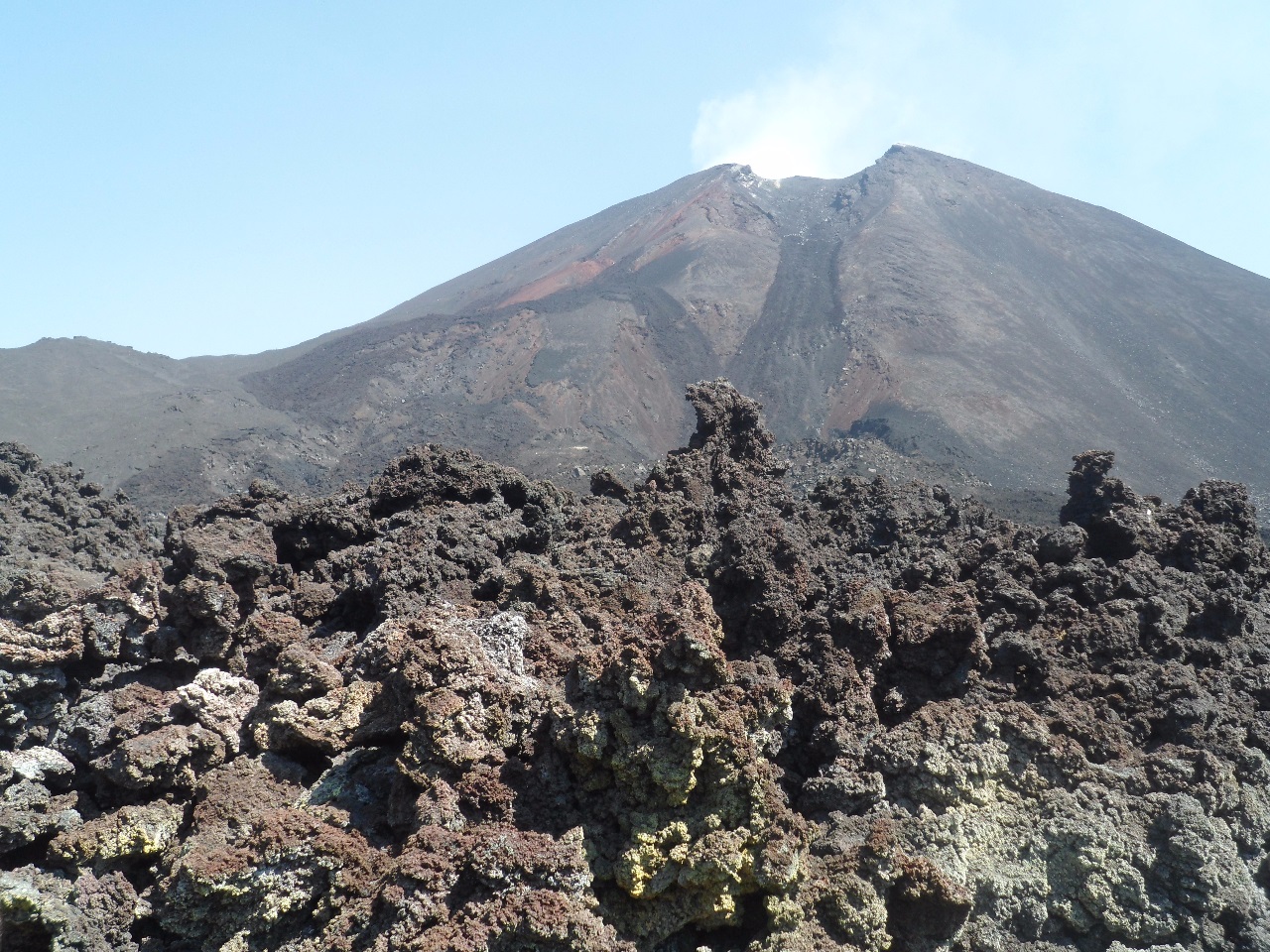
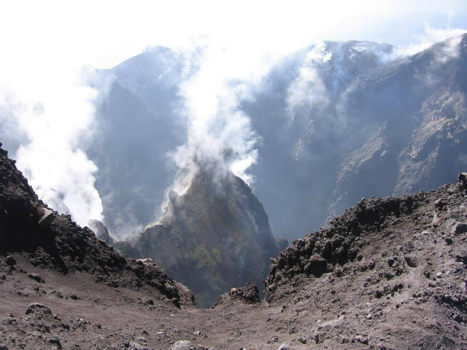
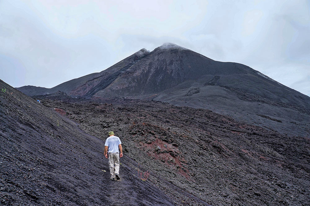
Cono activo Mackenney
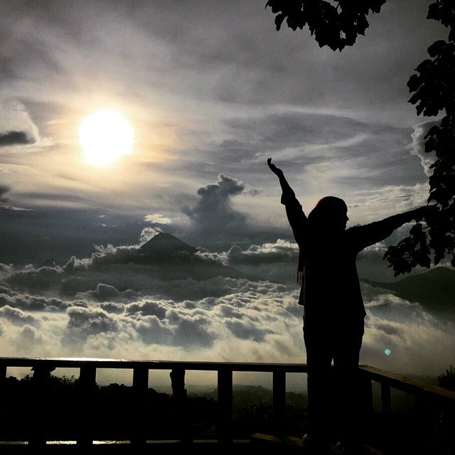
Foto: Parque Nacional Volcán de Pacaya (Archivo)
CLASIFICACIÓN: PARQUE NACIONAL CATEGORÍA 1
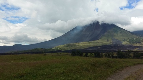
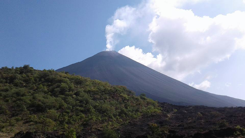
Vista del área sur del Volcán de Pacaya.
Foto: Parque Nacional Volcán de Pacaya (Archivo)
El Parque Nacional Volcán de Pacaya y Laguna de Calderas fue creado por Acuerdo Gubernativo del 20 de julio de 1963, para ese entonces el cono volcánico ya había sido protegido bajo el Acuerdo Gubernativo que declara Zonas de Veda Definitiva a todos los volcanes del país.
El Parque tiene una extensión de 2,221.62 hectáreas (de acuerdo a polígono delimitado por RIC) al sur de la Ciudad de Guatemala, en jurisdicción de tres municipios San Vicente Pacaya, Amatitlán y Villa Canales. El Parque tiene una excelente ubicación, con accesos desde puntos clave en la recepción de turistas internaciones, así como para la visitación nacional. Se puede acceder por: la CA 9 desde la Ciudad de Guatemala, la RN 14-CA 9 desde Antigua Guatemala, la CA-9 desde Escuintla, la RD 10 desde el Lago de Amatitlán, y la RD 10 desde Santa Elena Barillas.
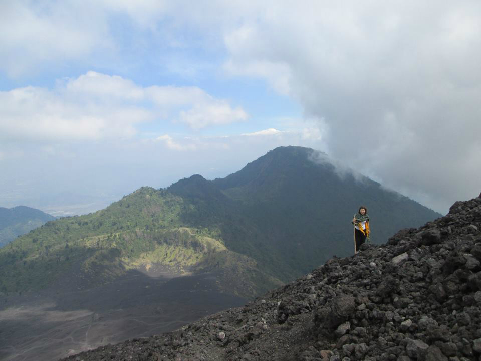
En el Parque se encuentra el Volcán de Pacaya, uno de los volcanes más activos de América, y por lo que ocupa los primeros lugares de visitación en el país. El Parque constituye una muestra viva de la actividad volcánica; en él se pueden observar vestigios de cráteres antiguos, como la Laguna de Calderas, y los Cerros Grande y Chiquito. Pero también formaciones más recientes como el Cerro Chino activo todavía en el 1800, la lava petrificada de El Patrocinio, el cono MacKenney y mucho más reciente el cráter que se formó al sur del volcán en mayo del 2010.
En el 2008 se firmó un Convenio de Coadministración en el que participan la Municipalidad de San Vicente Pacaya, el INAB y el CONAP. El INAB es el administrador según el Acuerdo Gubernativo del 20 de julio de 1963. Coadministradores; CONAP, INAB y Municipalidad de San Vicente Pacaya. La Coadministración se estableció a través de un Convenio de Coadministración el 20 de agosto del 2008. (Plan Maestro del Parque Nacional “Volcán de Pacaya y Laguna de Calderas”).
El CONAP fue creado a través del Decreto Legislativo 4-89, Ley de Áreas Protegidas de Guatemala, el cual da vida también al Sistema Guatemalteco de
Áreas Protegidas – SIGAP -. El objetivo del SIGAP es proteger una muestra representativa de los ecosistemas y biodiversidad de Guatemala para garantizar su permanencia y así el bienestar de las generaciones presentes y futuras.
En la actualidad las áreas protegidas pueden declararse en diferentes categorías de manejo que son orientadas según sus características y las actividades permitidas
en ellas. Hay 6 diferentes categorías de manejo.
El Área Protegida del Volcán de Pacaya y Laguna de Calderas se incluye por SIGAP en la categoría: Tipo I: Parque Nacional / Reserva Biológica: Son áreas extensas que contienen ecosistemas, rasgos o especies de flora y fauna de interés y maravillas escénicas. No se permiten las alteraciones al paisaje, ni la extracción de recursos (SIGAP.com).
CLASSIFICATION: NATIONAL PARK CATEGORY 1
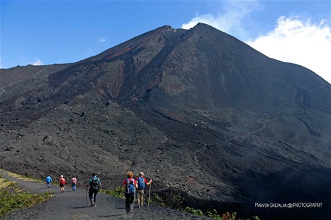
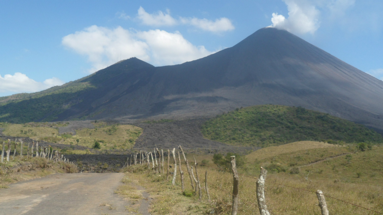
Foto: Marvin Grijalva Photography
The "Pacaya Volcano and Laguna de Calderas" National Park, was created by Governmental Agreement of July 20, 1963, by that time the volcanic cone had already been protected under the Governmental Agreement that declares definitive Closure Zones to all the volcanoes of the country.
The park covers an area of 2,221.62 hectares (according to polygon delimited by RIC) at south of Guatemala City, in the jurisdiction of three municipalities San Vicente Pacaya, Amatitlán and Villa Canales. The Park has an excellent location, with access from key points in the reception of international tourists, as well as for national visitation. It is accessible by: CA 9 from Guatemala City, RN 14-CA 9 from Antigua Guatemala, CA-9 from Escuintla, RD 10 from Lake Amatitlán, and RD 10 from Santa Elena Barillas.
In the Park is the Pacaya Volcano, one of the most active volcanoes in America, and therefore occupies the first places of visitation in the country. The Park is a living example of volcanic activity; In it you can see vestiges of ancient craters, such as the Laguna de Calderas, and the hills Grande and Chiquito. But also more recent formations like Cerro Chino still active in the 1800's, the petrified lava of El Patrocinio, the MacKenney cone and much more recent crater that formed south of the volcano in May 2010.
In 2008 a coadministration agreement was signed in which the Municipality of San Vicente Pacaya, INAB and CONAP participate. INAB is the administrator according to the government agreement of July 20, 1963. Coadministers; CONAP, INAB and Municipality of San Vicente Pacaya. Comanagement was established through a co-administration agreement on August 20, 2008. (Master Plan "Pacaya Volcano and Laguna de Calderas" National Park).
CONAP was created through Legislative Decree 4-89, Guatemala's Protected Areas Act, which also gives life to the Guatemalan Protected Areas System (SIGAP). The objective of the SIGAP is to protect a representative sample of the ecosystems and biodiversity of Guatemala to guarantee its permanence and thus the welfare of present and future generations.
At present, protected areas can be declared in different management categories that are oriented according to their characteristics and the activities allowed in them. There are 6 different management categories.
The Protected Area of the Pacaya Volcano and Laguna de Calderas is included by SIGAP in the category: Type I: National Park / Biological Reserve: These are extensive areas that contain ecosystems, features or species of flora and fauna of interest and scenic wonders. No alterations to the landscape or extraction of resources are allowed (SIGAP.com).
Chris Cousens
What are your prices for admission?
DIRECCIÓN PARQUE NACIONAL
Hey Chris! You can see the section HORARIOS DE ATENCIÓN, and there´s the information you need. If you want we can send it to your email adress, please let us know, sending your email adress. Regards!